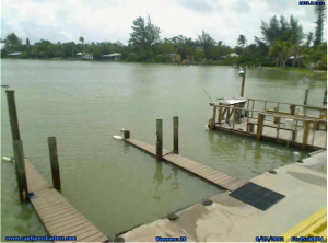
High Tide From Storm Push, Castaways Marina, Sanibel Island, Charlie Landon, January 2016.
City Of Sanibel Severe Weather Advisory For Sunday, January 17, 2016.
News release from the City of Sanibel:
“ALL RESIDENTS AND VISITORS ARE REMINDED TO BE PREPARED TO TAKE IMMEDIATE AND APPROPRIATE STEPS IF THE NATIONAL WEATHER SERVICE ISSUES A TORNADO WARNING.”
“The City of Sanibel is advising of the potential for a severe weather event to occur Sunday, January 17, 2016.
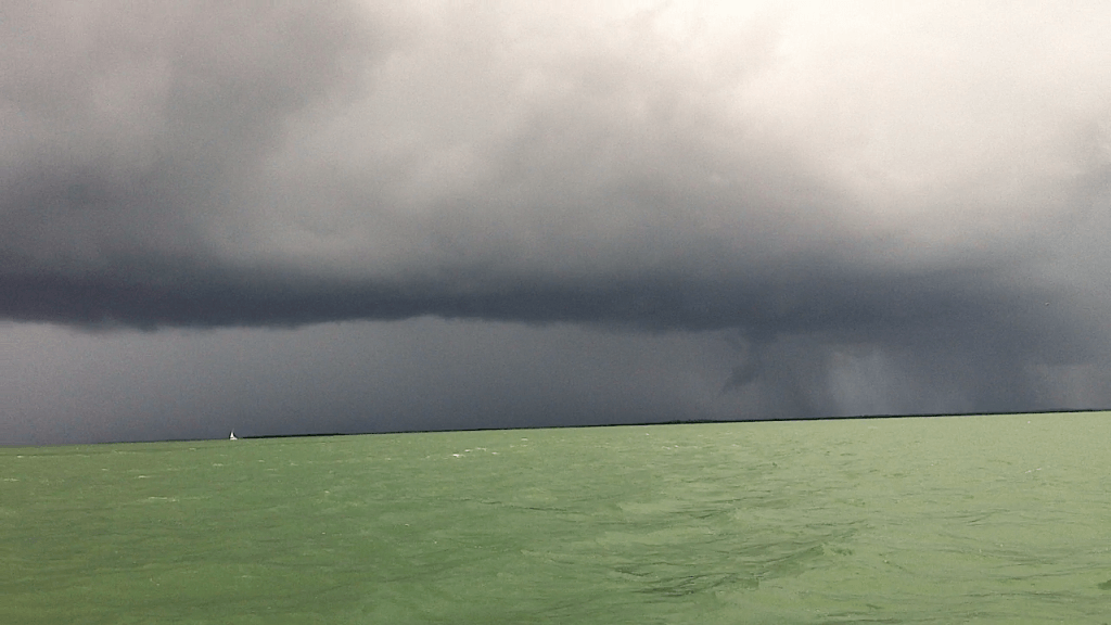
A severe weather threat exists between 2AM and 10AM, Sunday January 17th, 2016. Thunderstorms with damaging wind are likely and isolated tornadoes are possible. Winds will be strong during and after the event. Tides will run 1 to 2 feet above normal, especially close to high tide around 5AM.
This next severe weather event will [be] short in duration, but possesses the same variables as the previous two systems.
The weather will remain quiet tonight until after midnight. A few thunderstorms will develop and possible upper air shear that gets tapped could result in rotating cells, possibly resulting in brief tornadoes. Closer to dawn, a line of strong to severe thunderstorms should approach the coast. Once this line exits the area mid to late morning, much colder and windy weather will take over.
Winds tonight will start out south around 10mph and increase to 20mph by daybreak with gusts over 30mph, especially in storms. Winds will shift from the northwest by lunchtime tomorrow and subside gradually by evening.
The Sanibel Police Department strongly urges all residents and visitors to closely monitor the media weather forecasts until the threat of severe weather has cleared.
ALL RESIDENTS AND VISITORS ARE REMINDED TO BE PREPARED TO TAKE IMMEDIATE AND APPROPRIATE STEPS IF THE NATIONAL WEATHER SERVICE ISSUES A TORNADO WARNING.“