Sanibel Hurricane & Tropical Storm Update
Sanibel Hurricane & Tropical Storm Colin Update
The City Of Sanibel issued the following news release at 9 AM/E.
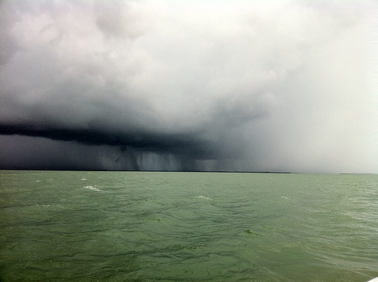
“Tropical depression 3 has been named Tropical Storm Colin in the Gulf of Mexico. It is roughly 330 miles southwest of Sanibel. It is heading NNE at approximately 15 MPH. The center is broad and poorly organized. It has 50 MPH sustained winds. Impact to Sanibel is not likely.
Monday morning will see a few showers and thunderstorms with winds to 20MPH. Monday afternoon and evening will see heavy rain with winds to 30 MPH. Rainfall amounts of 1-3 inches are likely with as much as 5 inches possible. Seas will be 4-8 feet. We will continue to monitor this situation.
A flood watch, coastal flood advisory, high surf advisory, small craft advisory and rip current advisory remain in effect through Tuesday.
Residents, property owners, business owners, property managers and essential personnel please make sure you have the current Hurricane Re-Entry Passes.”
Hurricane Re-entry Passes are available at the Sanibel Police Department, Monday-Friday from 8:00AM-4:00PM
800 Dunlop Road
Sanibel, FL. 33957